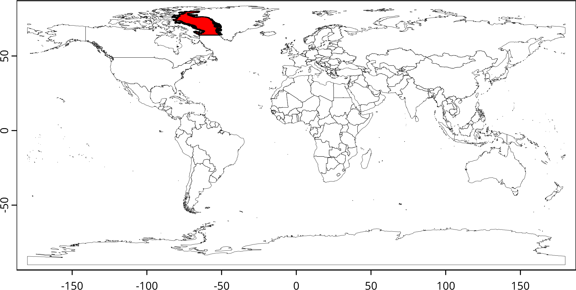
crop_extent <- ext(project(baffin, "EPSG:4326"))

wm <- rnaturalearth::ne_countries(scale = "medium", returnclass = "sv")

plot(wm, lwd = 0.25)
plot(project(baffin, "EPSG:4326"), add = TRUE, col = "red")
class       : SpatRaster
dimensions  : 10, 10, 1  (nrow, ncol, nlyr)
resolution  : 163627.1, 186358.9  (x, y)
extent      : 40471768, 42108039, 4602532, 6466121  (xmin, xmax, ymin, ymax)
coord. ref. :
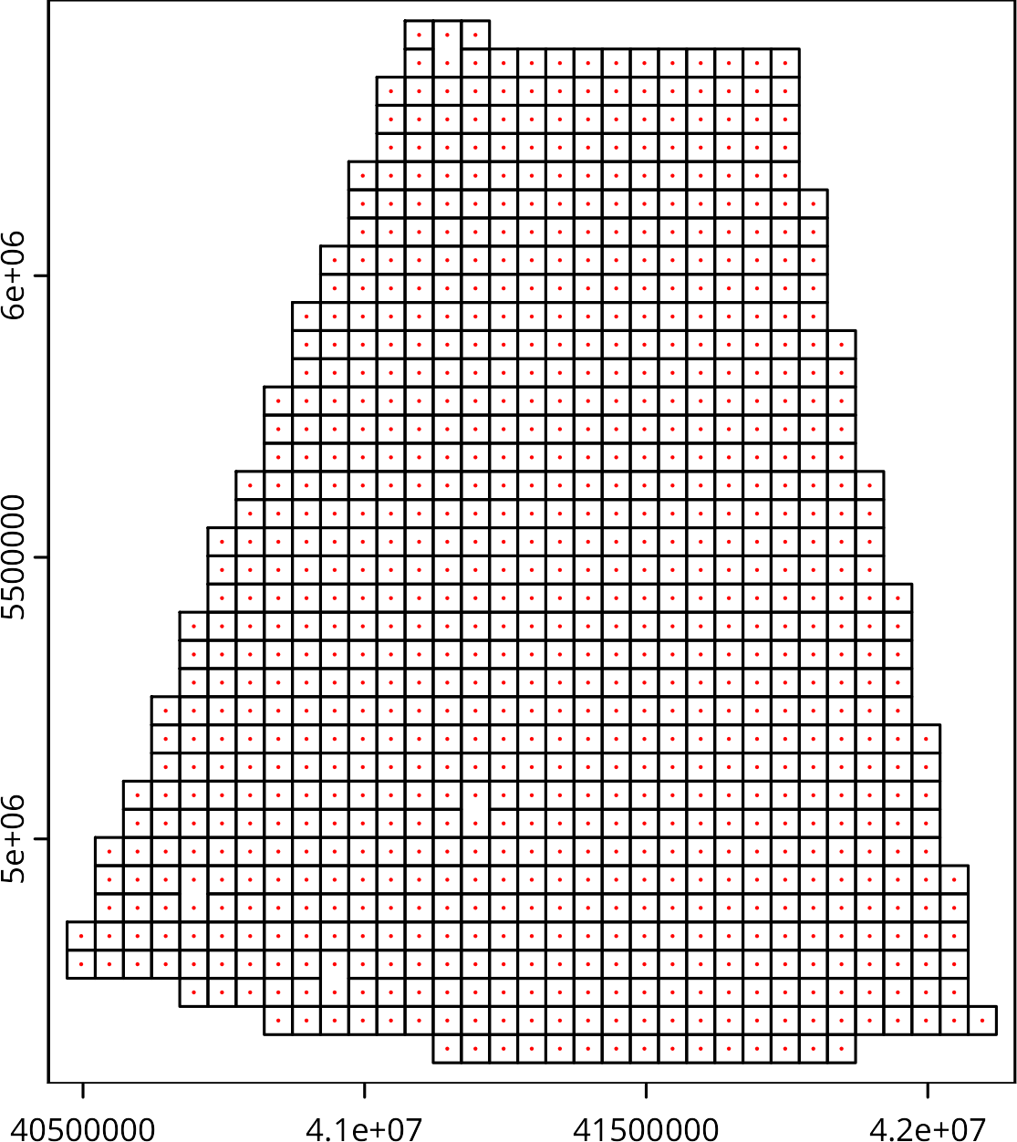
res(r2) <- 50000L
r2 <- resample(r, r2, method = "bilinear")
op <- par(mfrow = c(1L, 2L))
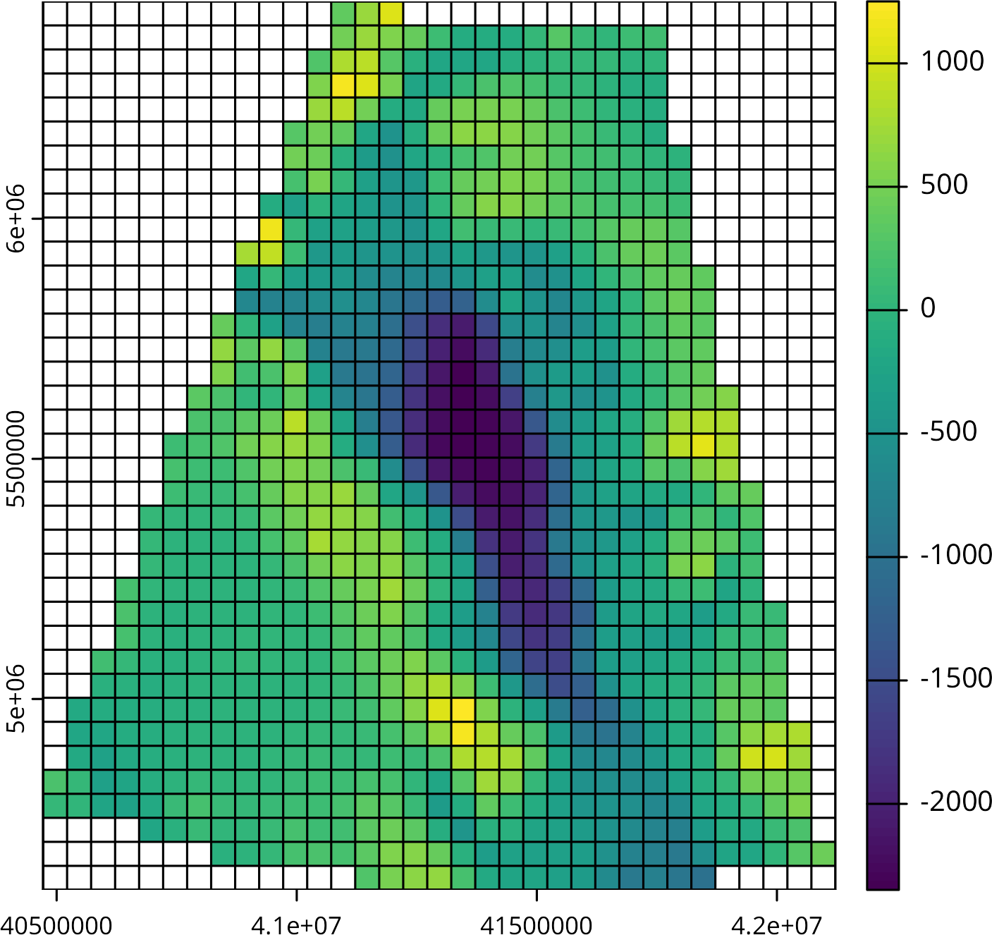
plot(r)
plot(r2)
par(op)

plot(as.polygons(r2))
plot(as.points(r2), cex = 0.2, add = TRUE, col = "red")
plot(r2)
plot(as.lines(r2), add = TRUE)
class       : SpatRaster
dimensions  : 8067, 7083, 1  (nrow, ncol, nlyr)
resolution  : 231.0138, 231.0138  (x, y)
extent      : 40471768, 42108039, 4602532, 6466121  (xmin, xmax, ymin, ymax)
coord. ref. : GR96 / EPSG Arctic zone 5-41 (EPSG:6059)
source(s)   : memory
name        : gebco_2022_complete_cog
min value   :               -2426.086
max value   :                2273.907
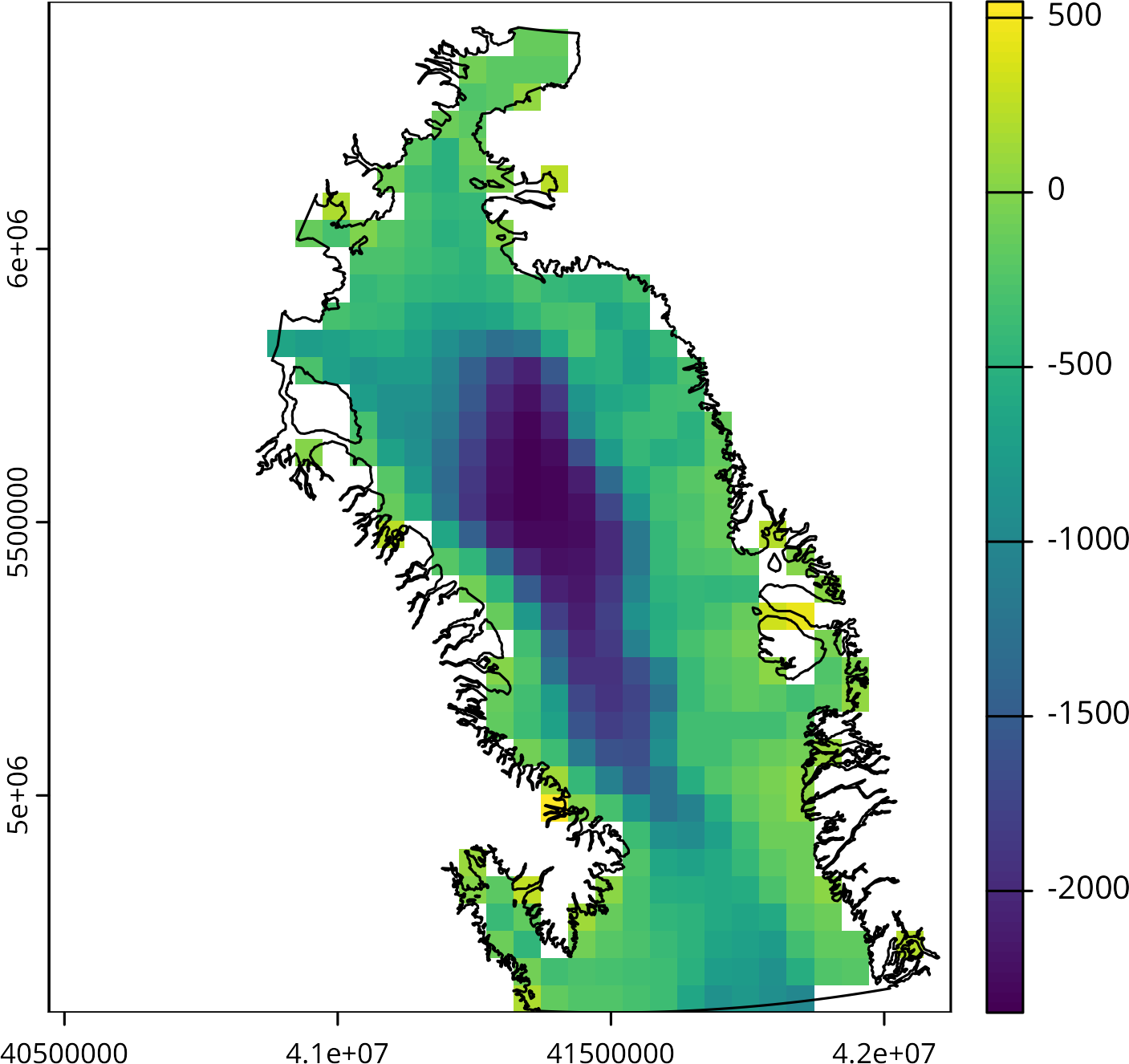
class       : SpatRaster
dimensions  : 37, 33, 1  (nrow, ncol, nlyr)
resolution  : 50000, 50000  (x, y)
extent      : 40471768, 42121768, 4602532, 6452532  (xmin, xmax, ymin, ymax)
coord. ref. : GR96 / EPSG Arctic zone 5-41 (EPSG:6059)
source(s)   : memory
name        : gebco_2022_complete_cog
min value   :               -2348.460
max value   :                1251.003